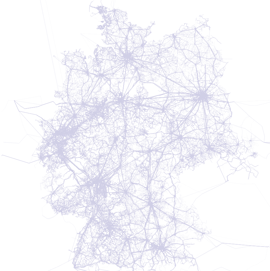
Open post vinvel @vinvel@social.tchncs.de · 8mo ago Replying to @organicmaps@fosstodon.org <p>We're working on live public transport schedules as the first step to public transport routing. Here is the helper web app that shows currently supported GTFS feeds in different countries and cities and helps to match bus/tram/train stops from OpenStreetMap.org with stops from GTFS: <a href="https://gtfs-osm-matcher.organicmaps.app/" target="_blank" rel="nofollow noopener" translate="no"><span class="invisible">https://</span><span class="ellipsis">gtfs-osm-matcher.organicmaps.a</span><span class="invisible">pp/</span></a><br />If you are interested in public transport schedules in your city, please let us know about feeds for your place/country, and help by adding/editing stops in OpenStreetMap.org</p> @organicmaps I'm not sure of how much use this is, but at least for Germany there is a country-wide gtfs-feed: https://gtfs.de/en/feeds/ gtfs.de GTFS.DE - GTFS für Deutschland We offer GTFS feeds for Germany - including all busses, trains (Deutsche Bahn and all other national operators), subways and trams. The feeds are generated regularly from the publicly available DELFI dataset.

 mastodon 4.7.3